Map layers · registration units
Whose land is this
The registration units layer colours nothing. It makes the map answerable: with the layer on, a tap asks the National Land Survey's cadastral register which registration unit (kiinteistö) the finger was over. The answer is the unit's number, and its boundary is drawn on the map.
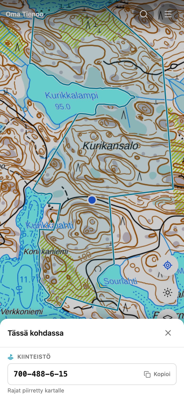
What the layer does
The layer is in the Karttatasot sheet, in the forest data group next to the felling layer. With both on, one tap answers both questions in the same panel. The tap works from zoom level 12 and closer: a point picked from farther out would be the size of a lake.
The same question in reverse
If you already have the number, type it into the search box. Three spellings work: 91-17-16-1, the zero-padded 091-017-0016-0001, and the 14-digit 09101700160001. The map frames the unit and draws the boundary, and the boundary stays until you close it from the bar at the bottom.
One unit, several parcels
A registration unit is often several separate pieces. The app fetches all of them at once, frames the map so that every one is on screen, and says how many there are. One parcel at a time would be the wrong answer: four out of five would sit outside the screen.
Where the data comes from
The National Land Survey's open cadastral register interface, the same host and the same key as the place search. The open half of the register gives the number and the boundary. It does not give the owner's name, and the app does not have one.
What it is not
- Not a boundary map of the country. The layer answers one spot at a time. Drawing every boundary at once is not in it, because one screen holds hundreds of units and the interface answers about one.
- Not a permission and not a prohibition. The boundary says where one unit's land ends and the next begins, nothing else.
- Not a mushroom prediction. A boundary says nothing about the forest. The mushroom maps are for that.
The other layers
Every layer and the question it answers: the map and its layers.