Mushroom maps · prediction
Black trumpet map
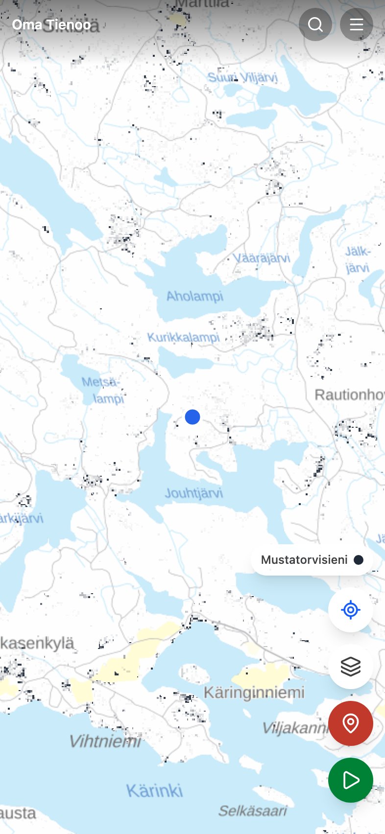
Mustatorvisieni, the black trumpet (Craterellus cornucopioides), is a species of lehto (herb-rich forest) and the most southern of the six. It grows on the most fertile ground with birch and noble broadleaf trees, and of the six species it is the hardest to find, because it is the color of the ground.
The map does not claim mushrooms are growing here right now. It colors, across the whole country, the forest stands where the black trumpet thrives, in other words where it is worth walking. The weather decides the harvest, and the app now says so: Painota sään ja kauden mukaan dims the layer where the species is out of season or where the rain has not come. The color still means terrain, not a crop.
What kind of forest the black trumpet seeks
- Trees
- Grows with broadleaf trees in lehto forests and rich mixed forests; spruce-dominated forest is not its terrain. Noble broadleaves are a good sign.
- Site type
- Lehto is best by a clear margin, lehtomainen kangas (rich heath forest) at half strength, tuore kangas (mesic heath forest) practically out.
- Ground
- Kangasmaa (mineral-soil forest); a korpi (spruce mire) can also do.
- Stand age
- Trees older than 55 years, with no upper limit.
- Season
- August to October.
- Northern limit
- The most southern of the six: the prediction declines already after latitude 61.5 and is marginal at 64.5.
The bars say whether a species is worth looking for now in the southern, central or northern part of the country. The division is the Finnish Meteorological Institute's. How the season and the weather are worked out
How to read it
It pays to search on your knees: the species is nearly black and vanishes into the leaf litter. Lush lehto hollows, stream banks and noble-broadleaf patches are the first places, and the prediction shows few of them precisely because Finland has little lehto.
Identification and cooking notes: mustatorvisieni at Martat (in Finnish).
What the prediction is computed from
The base is the multi-source national forest inventory map data (MVMI 2023) from Natural Resources Institute Finland: tree species shares, site fertility, mire type, stand age, volume and canopy cover in 16-meter cells across the whole country. Each row above is one factor in the model, and the factors are multiplied together, so one clearly wrong factor is enough to zero out a cell. Toward the north the prediction is damped according to observation counts from GBIF and Laji.fi, so that sparse recording in the north does not read as the species being absent. More: the mushroom maps and their limits.